Meta Meow Research
The next generation of AI, Visualisation and Spatial Computing Technology built in Tokyo
專案
Meta Meow Research is a Tokyo based R&D studio bridging Machine Learning, GPU Engineering and Intelligent Spatial Systems. We partner with hardware vendors, construction firms, platform developers, smart city developers, and UAV/robotics hardware manufacturers, delivering neural rendering research, real-time tooling, and AI-powered digital twin technology.
Our work spans GPU software engineering and real-time interactive systems, through to analytics and visualization platforms for smart buildings and urban infrastructure. Explore our active research programs and tools below.
服務項目
We apply deep technical expertise across visualisation, spatial computing and AI, building systems that perform at the edge of what's possible.
AI and Machine Learning
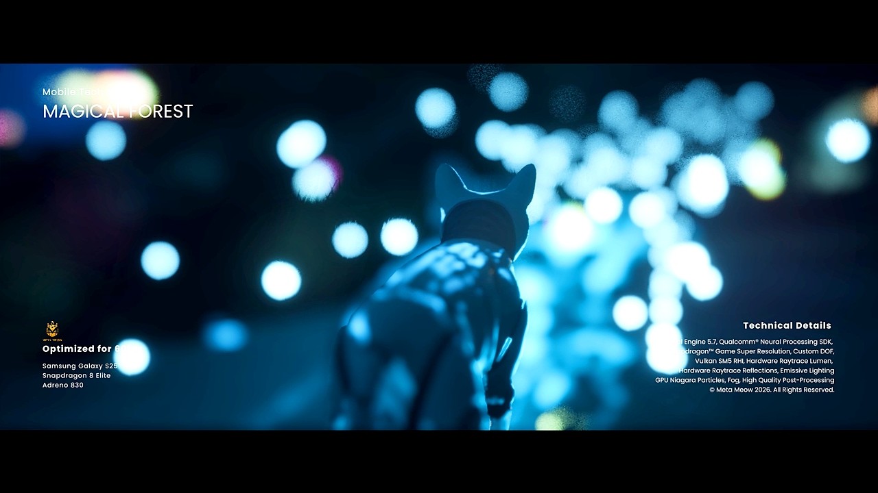
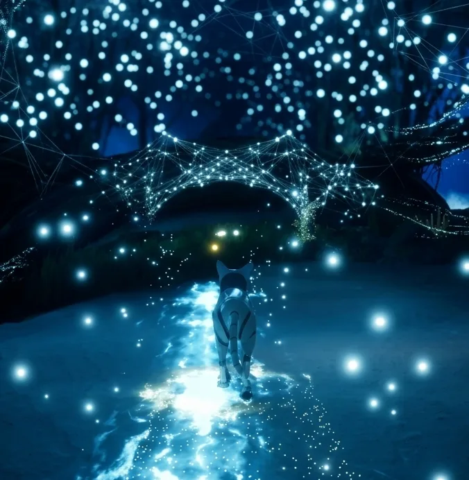
We develop and integrate neural network techniques into real-time production pipelines, from ML graphics models for GPU hardware vendors, to predictive spatial analytics. Our research covers model training for mobile and embedded GPUs (Qualcomm, ARM among others), and AI-assisted content creation workflows.
Data Visualisation in 2D and 3D
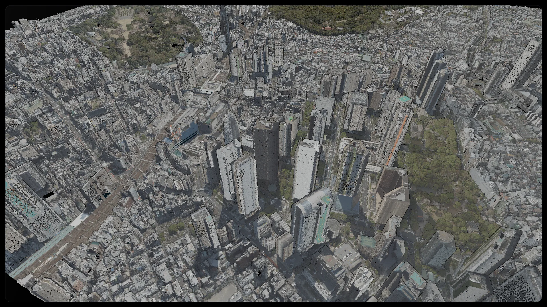
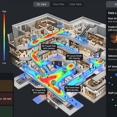
We research and implement high-performance rendering systems across desktop, mobile, and XR platforms. Ranging from complex 2D and 3D visualization platforms for architectural and urban digital twins to advanced real-time rendering systems for high-end desktop GPUs using cutting edge graphics techniques, we translate statistical and point cloud data into interactive, real-time services and applications.
Software Engineering &
System DevelopmentWe build the software infrastructure connecting research to production ranging from SaaS products to enterprise level systems. Some examples includes real-time sensor processing for motion capture, image and video processing for computer vision and spatial computing, real-time data ingestion for digital twin platforms, and scalable web-based 3D viewers for facility applications. Our systems are designed for demanding enterprise environments.
Real-Time Sensor & Spatial Visualization
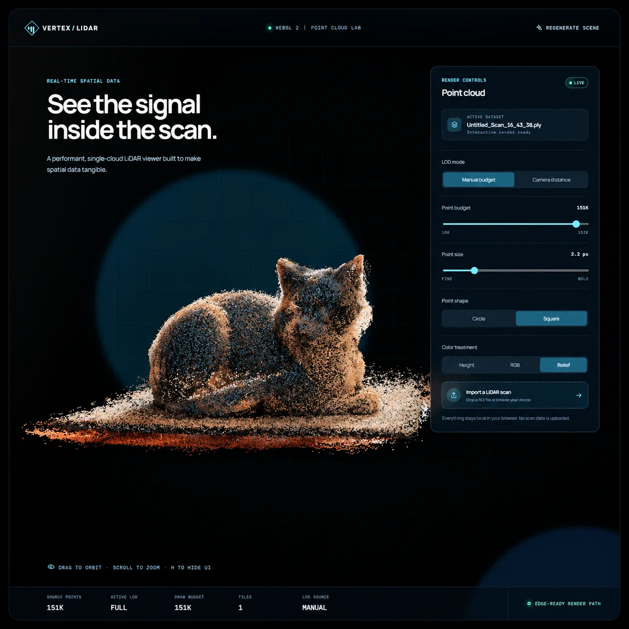
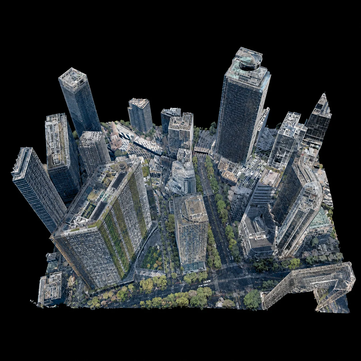
We build real-time visualization systems for large-scale sensor and spatial data, from point clouds to terrain and facility-scale environments. Some examples include real-time 3D point-cloud rendering for LiDAR data, and large-scale terrain and geospatial data visualization.
合作夥伴



媒體報導
Qualcomm Neural Processing SDK Setup
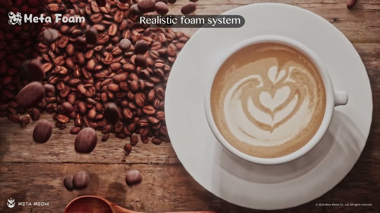
READ ARTICLEApproaches to Realtime Foam Rendering
READ ARTICLE
聯繫我們
Whether you're exploring a research partnership, contracted engineering work, or a technical challenge, get in touch and we'll respond within three business days